Saturday, April 30, 2005

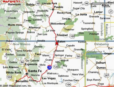
The Raton-Clayton Field extends from Springer, New Mexico, up to Trinidad, Colorado and over to just south of Kim, Colorado. Clayton, New Mexico is on route 56 at the intersection near the Texas border. Capulin Mountain is almost in the middle of this field just outside Capulin (south east of Raton). The Palisades is above the first "i" in Miami and Eagle's nest is just above the "s" in Taos. Toas is to the southwest of Raton. Posted by Hello

Friday, April 29, 2005

The Approach

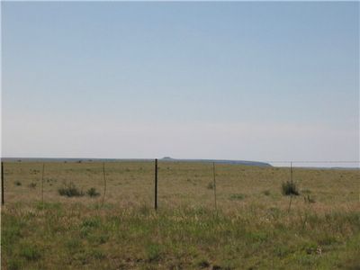
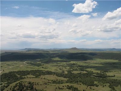
As I drove from Kansas to Colorado I was surprised by the eastern extent of the Clayton-Raton lava field. You can see a small scoria cone volcano on the flood basalt. Posted by Hello

Thursday, April 28, 2005

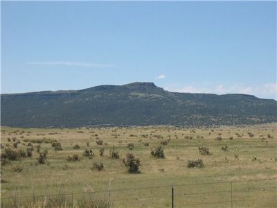
Approaching Trinidad Colorado the basalt becomes thicker and and more prominent. Posted by Hello

Tuesday, April 26, 2005

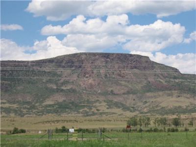
This basalt is part of the third flood event of this field. This must have been very spectacular. The center piece of this field is Capulin Mountain. As we went to the mountain as a lark I did not get a good picture of the mountain as a whole. We are just east of Raton. Posted by Hello

Monday, April 25, 2005

Here is a picture from the top of Capulin Mountain looking east. The hill is the distance looks exactly like Capulin but much smaller. It is called Baby Capulin by locals but the official name is Robinson Mountain. Posted by Hello

Sunday, April 24, 2005

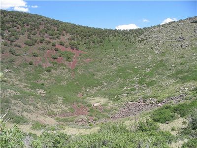
Here we are looking down at the mountain's crater. From rim to bottom is 150 meters (450 feet). Capulin Mountain erupted 2300 years ago. The field itself will probably spawn more volacanoes in the future. You can walk down into the crater to read a sign telling you that you are at the bottom. The trail is faintly visible on the right. Posted by Hello

Friday, April 22, 2005

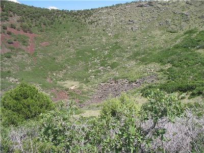
Another picture with the rim on the other side of the crater. Posted by Hello

Wednesday, April 20, 2005

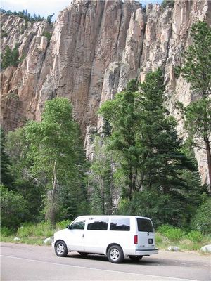
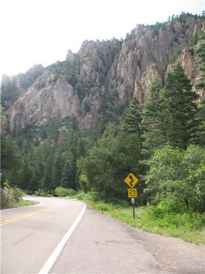
I would call this a dike not a sill as the country rock is unlayered granite. These pictures were taken in the Sangre de Cristo Mountains on the way to Eagle's Nest NM. Posted by Hello

Monday, April 18, 2005

Sill with Van

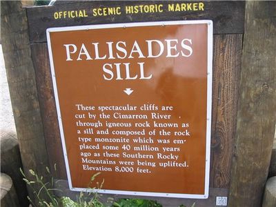
Now the Palisades. Notice the strong columnar joiting of the basalt. Posted by Hello

Thursday, April 14, 2005

Eroded country rock

This picture of the country rock near the sill with erossional features. Granite is vaguely water soluble and so the rock melts over time. Posted by Hello

Wednesday, April 13, 2005

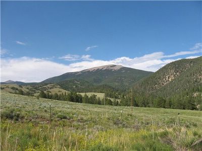
And speaking of the Sangre de Cristo Mountains. The picture was taken from a valley floor about 11000 feet up. The mountain is over 12500 feet. Notice the tree line. It is too cold for tree seeds to germinate in the summer. By the way, valleys like this are sometimes called high chaparrals. A few dozen miles south of here is the Pecos Wilderness Area. The Pecos is a temperate rain forest, so much for the desert New Mexico.Posted by Hello