Friday, June 10, 2005

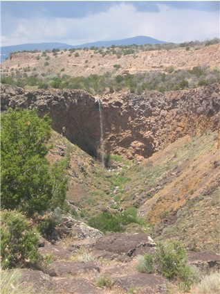
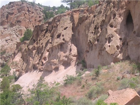
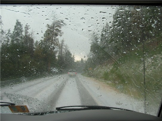
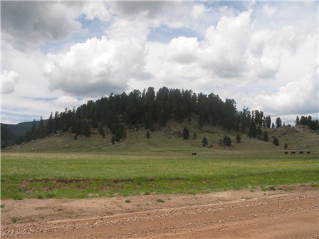
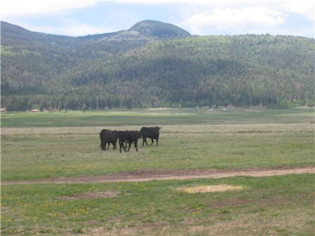
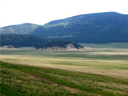
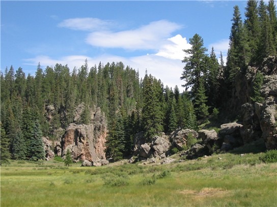
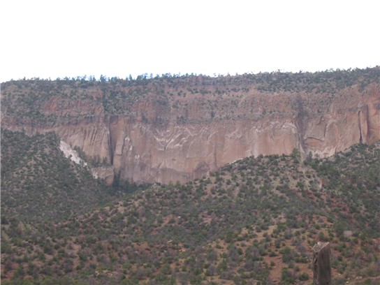
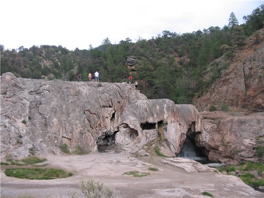
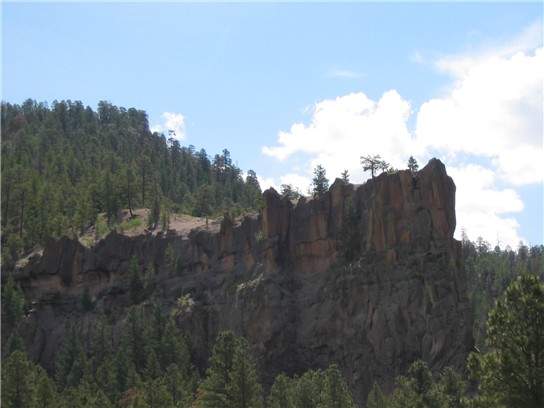
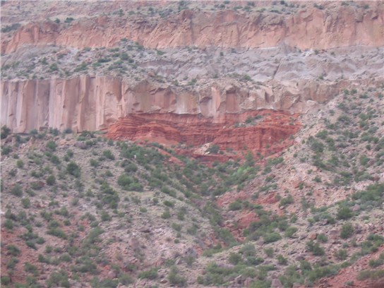
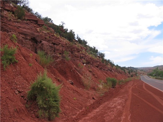
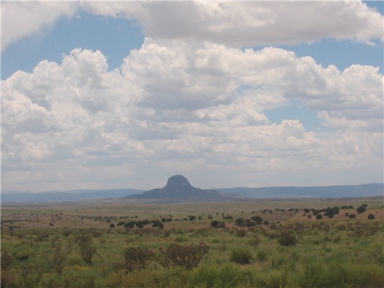
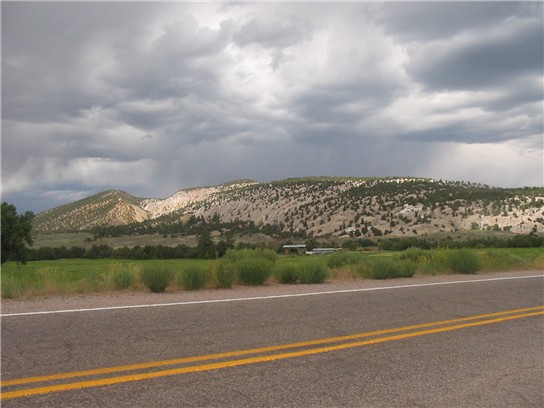
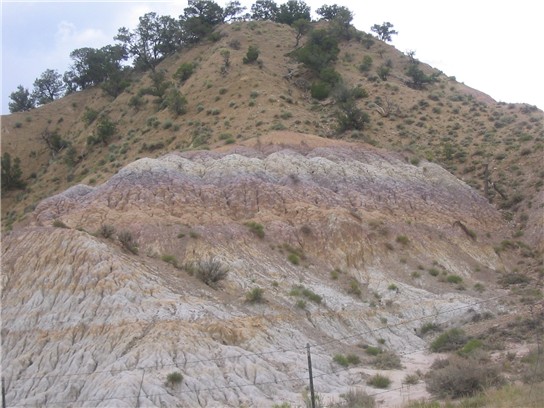
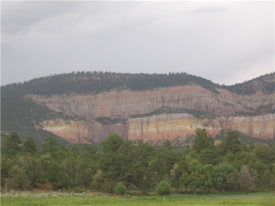
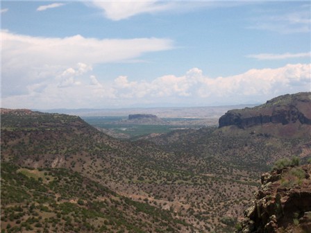
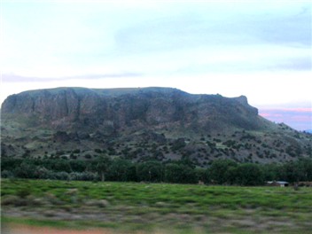
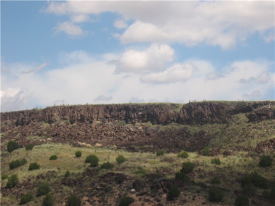
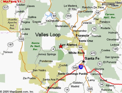
Here is a map of the "Valles Grande Loop" (pronounced Veye-yuh Gran-day in New Mexican Spanish). The darker green patch just south of Los Alamos is Bandalier National Mounument. The first picture in the series below is near White Rock and the rest go around the loop clockwise. The loop goes from Espanola, White Rock, Valles, San Ysidro, La Jara (pronounced La Hara), Coyote, and back to Espanola. The white square is the Valles and the soda dam is near Jemez Springs (hemez). Cabazon is west of 550 a little north of San Ysidro. The sediments picture is close to Cuba (east of 550). The next to last last pictures are between Galina and Coyote and north of the road. Posted by Hello

Here is a satellite photo of the Valles. The small loop is the area that can be seen from the road. The large circle is the whole caldera. At the bottom of the loop is the Jemez River breakout (marked). On the upper left of the caldera is the San Antonio River breakout. The two rivers meet near the "J" at the lower left of the caldera. The Soda Dam is also here. Several of the resurgent domes are clearly visible in the picture. The largest, just west of the small loop, is Redondo Peak. The photo is taken by the National Geological Survey.Posted by Hello

Kwage Mesa is on the way to Los Alamos from Espanola and is part of the Jemez Mountains. This formation is about 300 meters thick and was laid down in one explosion. Mt. St. Helens was a wimp, its maximum ash fall was half a meter. This was taken from a similar mesa on the other side of Pueblo Canyon. Notice that the Tuff at the bottom is well welded and the cliff is shear. The tuff on top is weakly welded and subject to relatively rapid erosion. Posted by Hello

Waterfall near the rim of White Rock Canyon. The nearer rock is basalt and the reddish rock in the backgound is Bandalier Tuff. Posted by Hello

Bandalier Tuff. The holes are called vesicles. They are made in two ways, the first is gasses bubbling up as the lava hardens and the second is as weaker rock is eroded out. Notice that the rock at the bottom of this formation is not particularly well welded and is subject to quick erosion. Posted by Hello

The results of the Dome fire of 18 years ago. It is recovering very slowly, as you see. This picture was taken near Bandalier National Monument, just after a brief summer storm. Posted by Hello

Most of these pictures were taken during the summer of 2004. The Valles pictures where taken over Memorial Day 2005. This brief hail storm on my way up to the Valles put down over 2 inches of hail. Do you notice that idiot driver in front of me taking his life into his own hands by trying to drive through, uh.....ummmmm, never mind. Posted by Hello

The tiny resurgent dome in the Valles. Notice the 5 cows. Posted by Hello

Cows in the Valles Grande caldera. This section of the caldera is about 3 miles across and 5 miles long, the whole caldera has a diameter of over 12 miles. The hills in the back are resurgent domes that grew out of the caldera about 100,000 years after the collapse of the volcano about a million years ago. There is some controversy about the dates of the two main eruptions, we will go with the Smithsonian Institution's dates of 1.12 Million years ago and 1.54 million years ago. We have had much milder eruptions since, the latest being 57000 years ago or so.Posted by Hello

Redondo Peak, a resurgent dome in the Valles, with a tiny resurgent dome in the foreground. Posted by Hello

Thursday, June 09, 2005

At one time the Valles Grande had a crater lake. But several hundred-thousand years ago the lake broke out in two places, this one is the Jemez River break through. The Valles is to the right behind the "wall". Posted by Hello

Near the top of the Jemez are layers of pumice that are evidence of the explosive phyroclastic flows of the last violent eruption. When the Jemez blew up one million years ago it ejected at least 600 times more junk than Mt. St. Helens did in its 1980 eruption. Posted by Hello

Here is the Bandalier tuff without the vesicles. This tuff is very resiliant. The shale underneath erodes easily and as it erodes the tuff is undercut and breaks off. This gives the tuff the shear cliff appearance and produces the mesa and canyon topography of the Jemez region. Posted by Hello

This is the "Soda Dam" near the Jemez Hot Springs. This calcium carbonate structure is the result of super-heated water disolving calcium carbonate from a limestone formation deep in the mountain. This is also evidence of a remaining magma chamber about 3 miles deep. The chamber is currently not moving and we are hopeful that it will stay that way. As such chambers go it is fairly cool (only 400 C or 750 F, give or take 100 degrees). When I was a kid the Jemez was considered an extinct volcano. Sometime around 1970 it was upgraded to dormaint. Today because of the magma chamber and the dozen or so hot springs related to this volcano it is now classified as active. Two other super large volcanoes are also active in the US: Yellowstone in Wyoming and Long Valley in California.Posted by Hello

This is Battleship Rock. It is the result of a much gentler eruption about 57000 years ago.Posted by Hello

Here is evidence of the disconformity between the Bandalier tuff on top and the triassic shale below. Posted by Hello

Here is some triassic shale south of the Jemez.  Posted by Hello

This is a volcanic neck west of the Jemez nameded Cabazon Peak. This is part of the Mt. Taylor Field. Mt. Taylor is a small shield volcano and can be vaguely seen as the "hilly" stuff in the distance. Notice the gathering of a summer storm. Posted by Hello

This is the back of a cuesta near Coyote, NM. You can see a side view of a cuesta at the very left. The questas south, west and north of the Jemez all "point" towards the Jemez. This volcano really disrupted the northwest quarter of New Mexico. The rock here is Triassic sandstone. Soon after I took this picture the summer storm broke. It deposited about an inch of rain in half an hour (as measured in Galina). I had to stop and wait the storm out as I could only see a few feet in front of me. Posted by Hello

Colorful Sediments near Cuba NM. The purple may be from the Jemez (some of the tuff in Los Alamos is this purple color). Posted by Hello

Colorful Triassic sedimentary rock north of the Jemez. This is some more of the country rock that the volcanism had intruded through. This is probably the formation that gives the sediments their color. Posted by Hello

A view of Black Mesa from the rim of Whiterock Canyon. The dark rocks here are all basalts. Posted by Hello

Black Mesa at Sunset. This is a volcanic neck east of the Jemez and just south of Espanola. This is probably related to the Rio Grande rift rather than the Jemez. Posted by Hello

Tuesday, June 07, 2005

Geology

This blog is mostly about geology. The pictures below are from a recent trip to New Mexico and are not in order (I am getting used to the software). The pictures where taken with a Canon A60. To learn more about these volcanoes see Geology of Bandalier and Volcanoes of New Mexico . More pictures will be posted in the coming months. The pictures below are south of Los Alamos and mostly involve the Cerros del Rio volcanic fields.

Desert Flowers Posted by Hello

La Bajada hill close up, notice the columnar jointing on the basalt ridge. Posted by Hello